
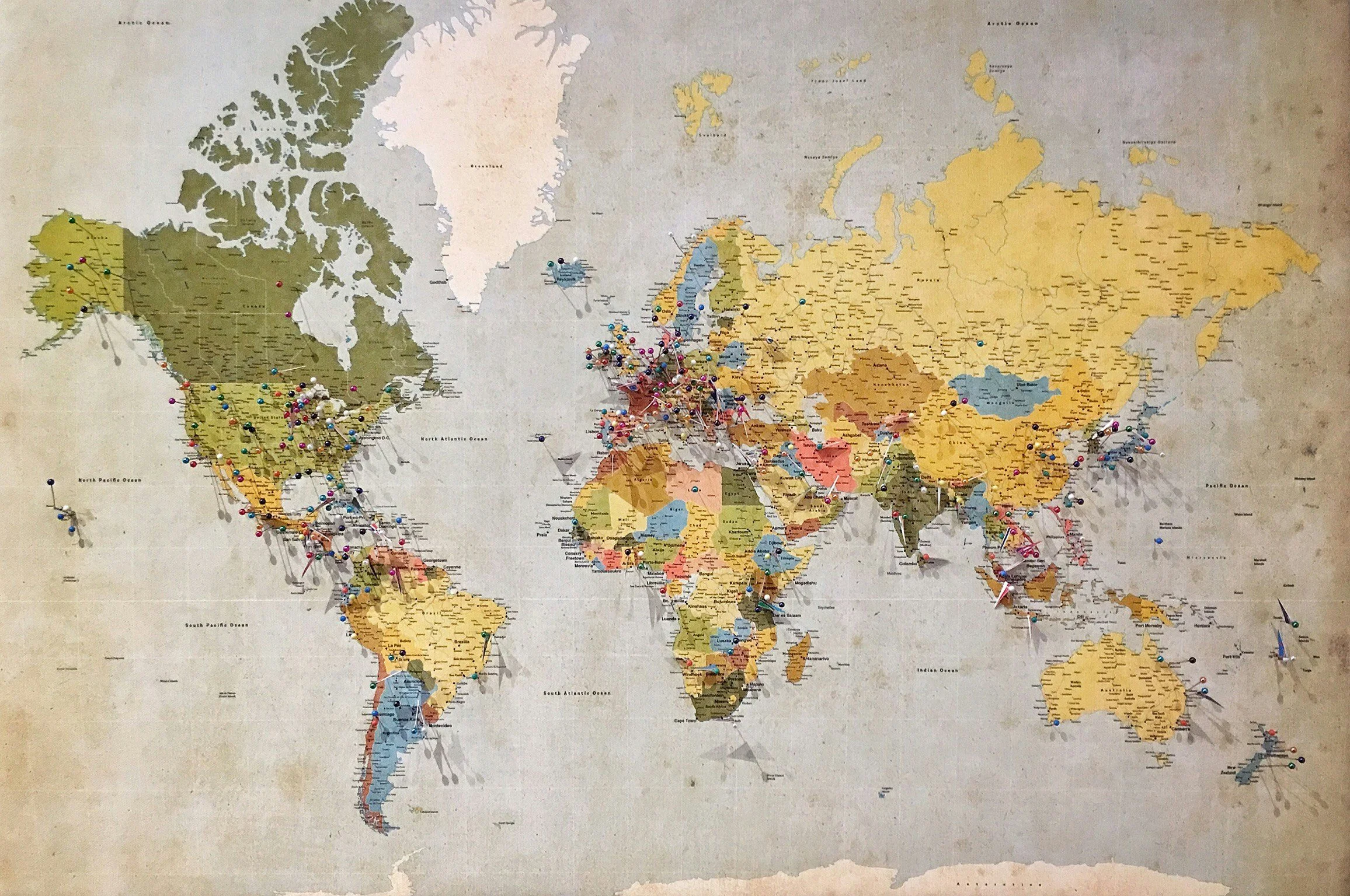
Geodesign was always about this.
The places we design shape what people do.
And what people do reshapes those places. Spatial Social Design brings together two proven disciplines: GeoDesign, which designs with geography, and Community-Based Social Marketing, which designs with human behavior. This short series introduces each one, shows what happens when they work together, and walks through real examples.
Where, and why
After cofounding Clean Trails in 2013, geospatial specialist Steve Jewett, cofounder of Environmental Alliance, used GIS to map litter. The maps showed exactly where the problems were. They couldn't show why people kept leaving waste behind.
That question led him to behavioral scientist Jennifer Tabanico, president of the behavior change firm Action Research. Together they pair spatial analysis with community-based social marketing to find where environmental action is most needed and what keeps people from adopting more sustainable habits.
“Behavior change is the cornerstone of sustainability.”
Dr. Doug McKenzie-Mohr, environmental psychologist
What is GeoDesign?
GeoDesign is a way of planning change to a place while seeing, at every step, what that change would do. Instead of drawing a plan first and judging it later, designers sketch options right on the map and get quick feedback on water, habitat, traffic, cost, and the people who live there.
The idea has deep roots. In 1969, landscape architect Ian McHarg's Design with Nature layered transparent maps of soils, slopes, water, and habitat to show where building belonged and where it didn't. Geographic information systems (GIS) turned those static layers into live, testable models. In 2010 the first GeoDesign Summit gathered at Esri in Redlands, California, giving the practice a shared name and a growing community.
Six questions at the heart of it
Carl Steinitz, whose framework guides much of the field, describes GeoDesign as a conversation built around six questions. Teams move through them in order, then loop back as the design improves.
How should the place be described?
What's there now: land, water, species, buildings, people.How does it work?
The processes that connect those layers, like how water drains or wildlife moves.Is it working well?
Where the place is healthy and where it's under stress.How might it be changed?
Alternative designs and future scenarios.What difference would the changes make?
The likely effects of each option.How should it be changed?
How the people involved decide among the options.
GeoDesign answers where, and what if.
It's at its best when it also knows how people will respond to the places it designs. That's where the second discipline comes in.